
Keystoned Steel // Field Guide
Big Sister Creek
GAUGE — USGS 04214222
The brief
class="v-brief">What this creek is, honestly: Big Sister Creek is the creek DEC itself points to when it talks about the non-stocked Lake Erie steelhead fishery. The 2026–2035 DEC steelhead plan says: "Effort will be put towards exploring access on smaller, non-stocked Lake Erie tributaries that still support healthy steelhead runs and have the potential to provide additional angling opportunities such as Big Sister and Smokes Creek." That is the whole pitch for this guide — and also its honest limit. Big Sister gets no DEC steelhead stocking (it is not one of the 8 stocked tribs), it has no DEC Public Fishing Rights section listed in DEC's steelhead-stream access table, and most of it is private land. What it does have is a real, verified steelhead run (angler reports, Fishbrain steelhead catches, and DEC's own "healthy run" language), a live USGS gauge at Evans Center, and a quiet, uncrowded character the big stocked creeks do not have. Buy this guide for a small, wild-feeling creek — not for a stocked fishery.
01 — Section
1. The idea in one paragraph
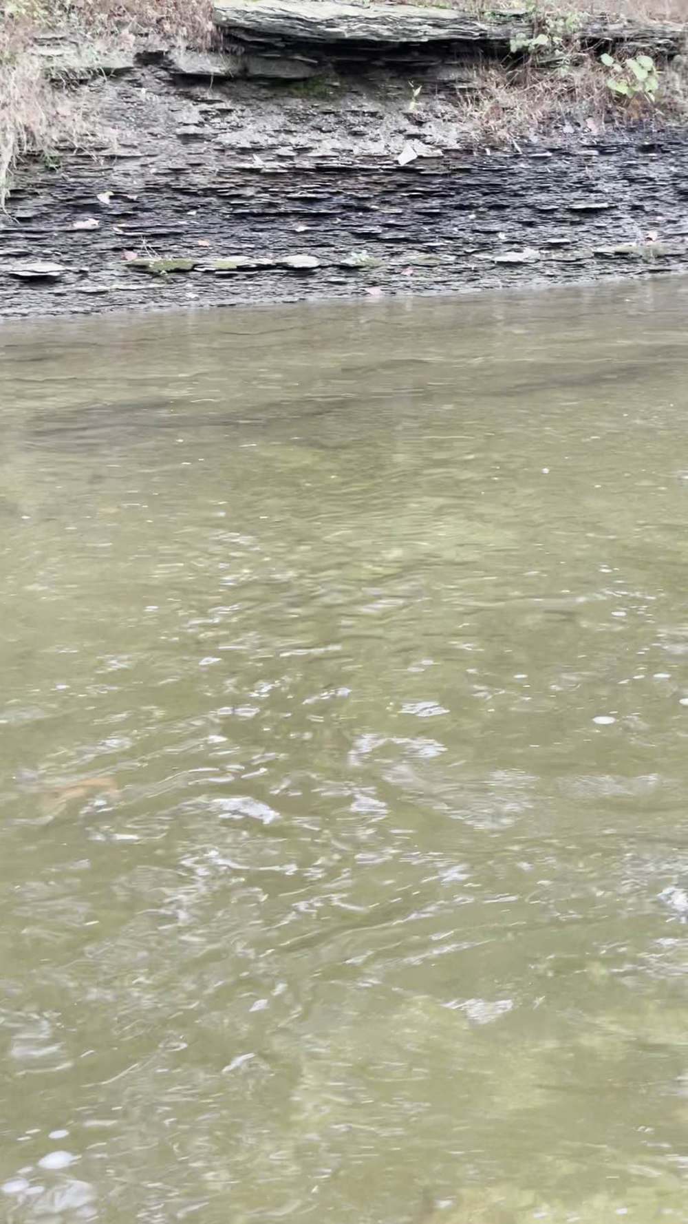
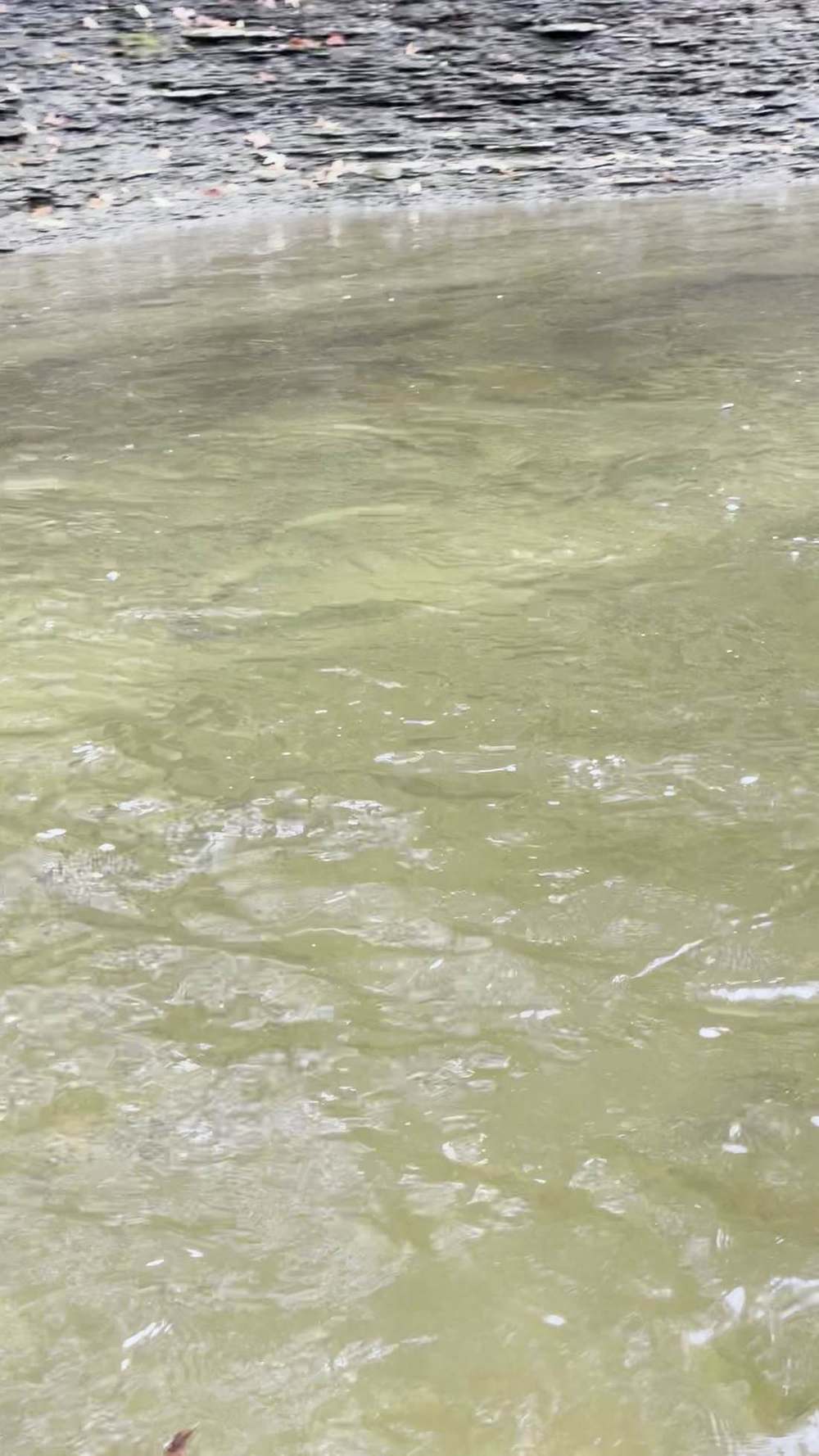
Big Sister Creek runs through Evans / Angola in Erie County and reaches Lake Erie at Bennett Beach. It is a 21-mile creek (per watershed mapping) with a lower reach classified C (fishing) and a small drainage — 48.4 sq mi at the Evans Center gauge, 2.2 miles upstream of the mouth. At its November 8 flow it is a tiny creek: 3.66 cfs. That is the point. When the big stocked creeks are crowded or blown out, Big Sister fishes like a spring creek — low, clear, and technical — and the fish in it are strays and wild fish, not hatchery fish dumped by the truckload. You will not catch a limit here most days. You might have the creek to yourself, and the fish you do find will be honest ones.
02 — Section
2. How to use this guide
1. Check the Evans Center gauge first (§3). If it is at or below the Nov 8 reading, this is a deep-pool-only
creek. If it has just lifted after rain, it is at its best — fish the falling water. 2. Assume private land until proven otherwise. There is no PFR section listed for Big Sister. Do not walk
in where you have no permission and no public park. 3. Fish the trend, not the number (§4). No published flow band exists for this creek — §4 gives a working
method for reading the gauge instead of a band. 4. Bring a thermometer. The Evans Center gauge has no water-temperature sensor.
03 — The Water★ Intel
3. Live gauges — verified snapshot, Sun Nov 8, 2026
All readings below are USGS provisional data, subject to revision, pulled direct from USGS Water Services on Nov 8, 2026. Times are the gauge reading times. These are a dated snapshot, not a live reading — in the living edition these cells are live at page load.
Gauge
USGS site
Live read (as reported)
Water temp
Call on the day
---
---
---
---
---
Big Sister Creek at Evans Center, NY
04214060 — upstream right side of Erie Road Bridge, 1,000 ft southwest of the Evans Center Fire Department, 2.2 mi upstream of mouth, drainage 48.4 sq mi, period of record Sep 2017–present
3.66 cfs, 3.03 ft, Nov 8 09:00 EST, stable
No sensor — not reported
Very low. This is a trickle by steelhead-creek standards. Fish are in the deepest pools only, if they are in at all in numbers. Do not expect a run day at 3.66 cfs — expect a scouting / stealth-pool day, or wait for rain. NOAA's gauge page for this station (EVCN6) also showed 3.03 ft, consistent with the USGS read.
Regional context, Nov 8, 2026, ~09:00–10:00 EST (USGS direct): Eighteen Mile Creek at Hamburg 12.2 cfs;
Cattaraugus Creek at Gowanda 160 cfs / 48.9°F (the only NY Lake Erie trib gauge with a live temperature sensor that morning); Buffalo Creek 32.9 cfs and rising; Cazenovia Creek 20.6 cfs; Cayuga Creek 9.71 cfs;
Canadaway Creek 15.0 cfs and rising; Chautauqua Creek 20.0 cfs and falling; Silver Creek 3.70 cfs; Walnut Creek (NY) 1.95 cfs. Lake Erie surface temperature was 56.8°F (NOAA stations, via Steelhead Almanac, Nov 8, 10:00 EST). Rain expected in the region in ~11 hours per Steelhead Almanac's Nov 8, 10:00 EST assessment — the lift Big Sister is waiting for. Weather on the day (regional, Steelhead Almanac Nov 8, 09:00–10:00 EST): clouds, air ~48–50°F, wind SW–N 13–16 mph across the NY tribs. In the app, the live NWS Buffalo forecast is embedded at page load.
3A. Recent pushes / fresh runs — Nov 6–8, 2026 Dated, sourced reports only. This section is a dated snapshot — in the app it is replaced by the latest reports at page load. Nothing here claims a run that is not sourced.
How this applies to this creek: the DEC hotline line — 'all other NY Lake Erie tribs at a trickle, practically void of fish' — covers this creek directly. At 3.66 cfs on Nov 8, Big Sister was the trickle the hotline describes.
- Nov 6–7 rain refill (USGS gauges, via Lake Erie Pulse / Steelhead Almanac): the Nov 6–7 rain lifted the
Pennsylvania tribs and then eased fast. Walnut Creek (PA) peaked at ~94.7 cfs on Nov 7, easing to ~16.5–18 cfs by Nov 8, 9:30 AM. Elk Creek and Conneaut Creek (PA) also rose on the rain and then eased.
BirdTrout, Nov 6, 2026
peak run for Walnut, Elk, and Conneaut (PA); tail-off for Cattaraugus (NY).
NY DEC hotline, Oct 30–Nov 13, 2026
Cattaraugus was the only viable NY Lake Erie tributary — low and clear, with a limited spread of steelhead. All other NY Lake Erie tribs were at a trickle, practically void of fish. On the Lake Ontario side, Eighteenmile Creek and Oak Orchard had plentiful browns and kings, with some steelhead and coho.
Walnut Fair — 18 cfs, falling. Elk Fair — ~16 cfs, falling. Twenty Mile Poor — ~28 cfs, falling. (Walnut / Elk / Twenty Mile here are the PA creeks.)
- Honest summary — no confirmed widespread fresh push: the Nov 6 forecast alone did not produce a confirmed widespread fresh push. What the reports show is a localized PA refill on Nov 6–7 that peaked and is now falling, a tailing-off Cat at low, clear water with limited fish spread, and NY's smaller Erie tribs practically void of fish. Do not read a big new run into this weekend.
- Next chance — forecast, not fact: the next rain chance, late Sun Nov 8 into Mon Nov 9, could pull a fresh push into the Ohio and Pennsylvania tribs. That is a forecast, not a fact — check the gauges Monday morning before you drive.
04 — The Water
4. Flow bands — go / wait / stay home
No published, verified flow band exists for this creek. What follows is a working method, not a band — qualitative guidance for reading the gauge, with no invented cfs lines.
Working method:
- Very low (around the Nov 8 reading, ~3.7 cfs at Evans Center): deep pools only. Stealth, small flies, long leaders. Fish may be present but podded and spooky. Many anglers would call this a no-go; a careful angler can still find a fish in the deepest slot.
- A fresh lift (rising gauge after rain, then falling): the creek's best water. Small creeks like this turn on fast and drop fast — the window is often a single day. Fish the falling water while it still carries a little color.
- Blown out (gauge several times the Nov 8 reading and still rising): stay home. A 48-sq-mi creek at flood stage is unfishable and unsafe to wade.
- General rule: on a creek this small, the gauge trend matters more than the absolute number. Rising means fish moving in; falling-and-clearing means fish holding and catchable; flat-and-low means they are in the pools or not there. No cfs band is printed for this creek — none is published, and this guide does not invent one. Use the method above, and keep notes on what the gauge read on your good and bad days; that log is worth more than a guessed band.
05 — Section
5. The run, the fish, and the rules
Run timing
the bulk of the run is mid-October through April; mature steelhead enter as early as mid-September. Steelhead are most active roughly 42–55°F; Cattaraugus read 48.9°F that morning (Nov 8), in range.
Stocking note
none. Big Sister is not stocked with steelhead. Its fish are strays from stocked tribs and wild fish. That is why DEC calls it a creek to "explore access" on rather than a stocked fishery — and why expectations should be set accordingly.
Regulations — check before you fish
NY fishing license required, age 16+. DEC's Great Lakes and Tributaries Special Regulations page (in effect April 1, 2026) confirms directly: trout/salmon open all year, 12-inch minimum, 3 fish in combination — verify against the current NYSDEC Freshwater Fishing Regulations Guide. The seasonal reach for Big Sister follows DEC's all-other-tributaries definition (bridge closest to the mouth to the first impassable barrier; DEC names no barrier for this creek) — confirm in the current NYSDEC guide before you fish.
06 — Access
6. Access, pool by pool — area-level only
No street address is stated here that was not verified. Access below is area-level only. No parking-lot address is invented. The access rule for Big Sister, in one line: the mouth at Bennett Beach (Erie County park, Evans) is public and fishable — everything upstream is private, permission only.
- Mouth / Bennett Beach (Erie County park, Evans, NY): Big Sister Creek reaches Lake Erie at Bennett
Beach, and the mouth at Bennett Beach is public and fishable — the one confirmed public access on this creek, and where fresh fish enter first. Fish it from the park / beach at the mouth. Seasonal park rules and closures still apply — check them before you go.
Evans Center (Erie Road Bridge gauge area)
the gauge sits at the Erie Road Bridge, 1,000 ft southwest of the Evans Center Fire Department. This is a gauge location, not a confirmed public access point. Do not treat the gauge as a parking lot.
Angola area
the creek flows through the Angola / Town of Evans area. Local guidance (Angola on the
Lake) describes Big Sister as "one of the waterways most closely associated with Angola" and notes access varies and portions pass through private property — observe posted signs and property boundaries.
- What is NOT public here: everything upstream of the Bennett Beach mouth. Big Sister Creek does not appear in DEC's steelhead-stream public-access table at all — no PFR mileage, no park mileage, no "need owner permission" row. DEC lists no public fishing rights anywhere on this creek, and there is no public access upstream — every reach above the mouth is private land, fishable only with the landowner's permission. Do not read the Angola note above, the gauge location, or any bridge crossing as upstream access; none of them is. This is the single most important fact in this guide, and the reason the access section is short.
- Little Sister Creek (neighbor note, not a guide): just north of Big Sister, Little Sister Creek winds through
Evans and reaches the lake near Cradle Beach. It also gets steelhead runs per secondary sources, is smaller and less prominent, and is likewise mostly private with varying access. It is not DEC-stocked, has no USGS gauge, and is not in DEC's steelhead-stream access table — so it does not get its own $12.99 guide. If you fish Big Sister, Little Sister is the same game on a smaller scale, with the same permission rule.
Before you go: Bennett Beach park rules and seasonal closures change — check Erie County Parks before a trip, and obey posted signs. The confirmed position: the mouth is public at Bennett Beach (Erie County park, Evans), everything upstream is private, and DEC lists no Evans town park access on the creek. If the Bennett Beach position ever changes, the living edition will say so plainly in an update.
07 — Tactics
7. Flies, tactics, and seasonal playbook
Flies and tactics General Steelhead Alley practice for a small, low, clear creek (not stream-specific hatch data):
- Go small. In 3–4 cfs water, a #10–14 egg pattern, sucker spawn, or small nymph dead-drifted near the bottom beats a big streamer. Pressured, podded fish in clear water see everything.
- Nymphs (#12–16): pheasant tail, hare's ear, midges in the seams and tailouts. Long, light leaders.
- Egg sacs / beads under a float: the standard method when fish are podded in a deep pool — present at their depth, drag-free, and do not line them.
- Streamers only in the deep slots and after a lift: a #8–10 woolly bugger swung through a tailout when the water has a little color. In flat, clear water, streamers spook more fish than they catch here.
- Do not wade through the pool to reach the pool. On a creek this small, your entry point is your fishing.
Enter downstream, fish upstream, stay low.
Seasonal playbook From NYSDEC (Lake Erie tributary steelhead, general):
| Fall (now — Nov) | On Nov 8 Big Sister was at 3.66 cfs — fish present are in the deepest pools, and the next rain is the trigger. |
| Winter | fish the deep, slow pools only; fish slow, drift the fly right to them. Below ~40°F they hold tight. |
| Spring (late Feb–Apr) | the second half of the run. Small creeks warm and drop fast in spring — the window is short, and the creek can go from fishable to too low in days. |
| Summer | no steelhead. Smallmouth bass, rock bass, and warmwater species (Fishbrain's most-reported catches on this creek are smallmouth, then rock bass, then steelhead). |
08 — Section
8. Techniques in depth — fishing Big Sister Creek
Big Sister gives you one piece of public water — the mouth at Bennett Beach — and asks you to fish it well instead of fishing a lot of water badly. That shapes everything. The primary method here is a small float rig worked slowly through the mouth pool, because at the flows this creek usually offers, the fish are podded in the deepest slot at the lake edge and nowhere else.
The rig, set for this creek. There is no published band for Big Sister, and §4 is explicit about that: around the Nov 8 reading of ~3.7 cfs at Evans Center the call was deep pools only, and the best water is a fresh lift, falling.
So rig light and short. A small float, a leader only as long as the pool is deep, and shot pinched in a tight cluster just above the tippet so a dime-size egg sac or a soft bead pegged 1–2 inches above the hook sinks fast in a short drift and then hangs at the fish. Check the drift constantly — mend so the float tracks slower than the surface current, and if it drags or stalls, you are either too shallow or hung on the bottom. Depth discipline is the whole game in a pool this small: start a few inches off bottom and add depth in small steps until you tick bottom once, then come back up one step. Bait by clarity. Big Sister runs gin-clear at base flow — at 3–4 cfs there is nowhere for a fish to hide from your line. In that water, go small and pale: a single small bead or a #12–14 egg pattern in washed-out tones, on the lightest tippet you dare. After a lift, when the falling water still carries a little color, you earn one size up: a slightly larger sac in a brighter chartreuse or orange reads as food instead of a threat, and fish that ignored you all morning will move a short distance for it.
Forage notes — Big Sister Creek in mid-November Read this as an imitation menu, not a presence claim: Big Sister is not a stocked steelhead creek, its fish are strays and wild fish, and the only confirmed public water is the mouth at Bennett Beach — a single deep mouth pool at 3–4 cfs, gin-clear at base flow. In that pool, egg sacs, beads (6–10 mm), and single eggs stay in the lead group year-round, sized to clarity: one small, pale bead or a #12–14 egg pattern in flat clear water, one size up only after a lift colours the tailout.
- Mouth and lake seam only for shiners: emerald shiners matter where the creek meets the lake at Bennett
Beach, not up-creek on this small, mostly private water. Where legal at the mouth, a live shiner on a bobber
never rotates fully out; shiners are not an up-creek lead here in any month.
Secondary, not lead
sculpin streamers are secondary only, and §7 is blunt that streamers spook more fish than they catch in flat, clear water here — use one only in a coloured deep slot after a lift. Stonefly-type and other small nymphs are the year-round secondary anchor in the seams and tailout.
Off the menu
crayfish are tucked and inactive in mid-November cold water, so no crayfish pattern leads in the mouth pool now. Where they hold. At low, flat flows, forget the riffles entirely — the fish are in the deepest part of the mouth pool, tight to the bottom, and spooky. On the prime water — the gauge rising after rain, then falling with a little color still in it — fresh fish sit in the tailout and the soft seam where the creek meets the lake, and that seam is the first drift to make. Blown out, with the gauge several times the low reading and still rising, there is no technique answer: a 48-square-mile creek at flood is unfishable, and §4 says stay home.
The secondary method. Fly indicator nymphing beats the float rig on the still, clear mornings when even a small float landing puts the pod down. A long leader, a small yarn indicator, and a #14–16 pheasant tail or midge presented from well below the pool will take fish that a float spooks — enter downstream, stay low, and never wade into the pool to reach the pool.
Seasonal adjustment. Spring is the trap on Big Sister: the creek warms and drops fast, and the window between a good lift and too-low-to-fish can be days. In spring, check the gauge trend the night before, not the morning of — if it is already flat and low, save the trip.
09 — Section
9. Safety
1. Small creek, fast change. A 48-sq-mi watershed rises and falls in hours. Check the gauge before you drive
and again when you arrive; do not wade a rising creek. 2. Do not wade water you cannot see the bottom of. At 3.66 cfs this is ankle-to-knee water in most places;
after rain it is not. 3. Cold water kills. November water in the high 40s °F is a real emergency if you fall in with waders.
Waders with a belt and a fishing partner are not optional extras. 4. Private land is private. No PFR is listed on this creek. Do not cross a posted boundary to reach a pool —
losing access hurts every angler after you, and on a creek with no public water at all, one bad encounter can close the whole game. 5. Bennett Beach / mouth access: the mouth at Bennett Beach is the public water on this creek — fish it
there, follow park rules, and check for seasonal closures before you go. Do not use the beach as a launch point to walk upstream onto private land.
10 — Section
10. What is inside the living edition
- Live USGS gauge at Evans Center (04214060) — real readings, stamped with the time the gauge took them; where a water has no temperature sensor, the guide says so plainly instead of faking one.
- Live weather & radar built right into the guide.
- Verified access where it exists — and where access is unverified or non-existent, the guide says so plainly instead of faking a parking lot.
- Flow method (§4) — a qualitative gauge-reading method for judging go, wait, or stay home from the gauge trend and level; no cfs band is published for this creek.
- Buy once — updates to the guides you bought are free.
The NY Lake Erie roster — verified / excluded Same table as in the Eighteen Mile Creek guide. DEC's authoritative list (Management Plan for Lake Erie Tributary Steelhead 2026–2035): ~142,500 steelhead yearlings stocked annually in 8 tributaries — Cayuga, Buffalo, Eighteenmile, Cattaraugus, Silver, Walnut, Canadaway, Chautauqua — plus ~50,000 domestic rainbow trout in 4 of them. DEC also names Big Sister and Smokes Creek as smaller, non-stocked tribs that still support healthy steelhead runs. Stream
Verdict
Why
---
---
---
Eighteen Mile Creek, Erie Co.
GUIDE — separate file
DEC-stocked, 20,000 steelhead + 15,000 rainbow; USGS 0421422210
Big Sister Creek
GUIDE — this file
DEC-named non-stocked run; USGS 04214060; no DEC stocking, no DEC PFR
Cattaraugus Creek
GUIDE — separate file
DEC-stocked, 60,000 + 15,000; USGS 04213500
Canadaway Creek
GUIDE — separate file
DEC-stocked, 10,000 + 10,000; USGS 04213376
Chautauqua Creek
GUIDE — separate file
DEC-stocked, 25,000 + 10,000; USGS 04213319
Walnut Creek, NY
GUIDE — separate file
DEC-stocked, 5,000; USGS 04213401 — not PA Walnut Creek
Silver Creek, NY
GUIDE — separate file
DEC-stocked, 5,000; USGS 04213394
Buffalo Creek, NY
GUIDE — separate file
DEC-stocked, 5,000; USGS 04214500
Cayuga Creek, NY
GUIDE — separate file
DEC-stocked, 5,000; USGS 04215000
Cazenovia Creek (+ E/W Branches)
GUIDE — separate file
DEC steelhead-stream table, 25 mi; not DEC-stocked; USGS 04215500
Little Sister Creek
NO standalone guide
Runs per secondary sources, but not DEC-stocked, not in DEC's access table, no USGS gauge, almost entirely private — covered in §6 above
Smokes / Smoke Creek
NO standalone guide
DEC plan names it as a non-stocked trib with a healthy run, but no USGS gauge, no DEC PFR/access table entry, no verified public access
Ellicott Creek
11 — Section
EXCLUDED
Flows to Tonawanda Creek / Niagara River, not directly to Lake Erie; not in DEC's Lake Erie steelhead-stream table
Stream
Verdict
Why
Murder Creek
12 — Section
EXCLUDED
Tributary of Tonawanda Creek, not a Lake Erie trib; not in DEC's Lake Erie steelhead-stream table
Buffalo River net pens
EXCLUDED as a stream guide
DEC stocks 7,500 steelhead in net pens — a pen program, not a wadeable tributary
Sources (Nov 8, 2026 build)
- NYSDEC, Management Plan for Lake Erie Tributary Steelhead 2026–2035: 8 stocked tribs; Big Sister and
Smokes Creek named as smaller, non-stocked tribs with healthy runs, access to be explored; run timing mid-Sep entry / bulk mid-Oct–Apr.
- NYSDEC, Steelhead Streams in Western New York: Big Sister Creek does not appear in the public-access table (no PFR, no park mileage) — that absence is itself the finding, stated here, not filled in.
- USGS Water Services, direct IV pull Nov 8, 2026: 04214060 Big Sister Creek at Evans Center 3.66 cfs /
3.03 ft, 09:00 EST. Gauge metadata (Erie Road Bridge, 1,000 ft SW of Evans Center Fire Dept, 2.2 mi upstream of mouth, drainage 48.4 sq mi, Sep 2017–present) via USGS station page. All USGS data provisional, subject to revision. NOAA gauge page EVCN6 corroborates 3.03 ft.
- Steelhead Almanac, Nov 8, 2026 10:00 EST assessment: regional rain expected in ~11 h; Lake Erie 56.8°F.
- Angola on the Lake, Creeks Near Angola: Big Sister reaches Lake Erie at Bennett Beach; Little Sister reaches the lake near Cradle Beach; access varies, portions private.
- Fishbrain, Big Sister Creek: most-reported catches smallmouth bass, rock bass, steelhead (16 steelhead reporters) — angler-reported, not a DEC survey.
- Buffalo–Eighteenmile watershed mapping (birdtrout.com): Big Sister Creek 21.1 mapped miles, Class C fishing.
- No street addresses, parking-lot addresses, or flow bands were invented for this guide; where a detail could not be confirmed from an official source, the guide says so and points you to that source.
Lore, Legends & History Big Sister Creek is an honest, thin-record water, and this section will not pretend otherwise. No Seneca name for it, and no old tale attached to it, turned up in the published county histories and sources consulted — so none is supplied here. What the record does show is a creek with a partner. Big Sister flows northwest across the town of Evans and reaches Lake Erie at Bennett Beach, in Angola-on-the-Lake. Just north of it, Little Sister Creek makes the same short run to the lake near Cradle Beach. The two have been named as a pair in print since at least J. H. French's 1860 Gazetteer of the State of New York, which lists the streams of Evans simply as "Big and Little Sister Creeks." Why "sisters," the sources consulted do not say, and any reason offered here would be a guess.
The creek's documented history is the history of Evans and Angola. Evans was formed on March 23, 1821, and French's gazetteer describes a working creek: at Evans, on Big Sister Creek, stood churches, a gristmill, a sawmill, and a tannery; at Pontiac, on a branch of the creek to the southeast, a gristmill and sawmill ran for many years. When the Buffalo & State Line Railroad opened through town in February 1852, it crossed Big
Sister Creek about a mile from Evans Center — and the settlement that grew up around that station, first called Evans Station, became the village of Angola. A local centennial history of Angola tells the same story from the other side: sawmills and gristmills along Big Sister Creek, with blacksmith shops and stores nearby, made Evans Center the social heart of the town until the railroad pulled that center toward Angola.
At its mouth, the creek cuts through Bennett Beach, an Erie County park that was once the Bennett family estate, mansion and all, before the land passed into public hands and was preserved as open shoreline. That is a fitting end for this creek: no legend, no famous name, just mills, a railroad village, and a public beach where a modest stream meets a very large lake.
Night fishing — working the holes after dark First, the law on this water. New York's Great Lakes tributary rules close this creek to night fishing in season: in the Sep 1–Mar 31 window the tributary reach — from the bridge closest to the mouth up to the first barrier impassable by fish — is open only from 1/2 hour before sunrise to 1/2 hour after sunset. In that window, be off the tributary water by sunset; the tactics below are for the water and the hours where night fishing is open — the lake shore and open mouth water this guide identifies, and the creek outside the seasonal window where no other rule closes it. Read that plainly before anything below: from September 1 through March 31 there is NO legal after-dark fishing on the tributary reach this guide covers — the legal day ends 1/2 hour after sunset. Everything below therefore belongs to two places: the open months (April through August), and the lake shore and open mouth water outside the tributary reach, where night fishing stays legal. In season, the night game on this creek is the first and last legal light — fish the §7/§8 program hard at dawn and dusk — not the dark itself.
After dark, the run changes address on Big Sister Creek, NY. Steelhead that held in the riffles and pocket water by day slide into the deepest holes in the reach — the slow, dark water at the head of the pool, along the undercut and the shale ledge, and the tail where the pool shallows into the next riffle — and they feed there with a confidence they never show at noon. On a small creek the night fishery is a handful of holes; learn which ones they are. Working a hole in the dark is a memory exercise before it is a fishing exercise. Fish the hole in daylight first: learn where it deepens, where the wood and the ledges sit, where you will stand, and where a hooked fish can be landed. At night, work it top to bottom in short steps — a cast or two across the head, down the seam, into the tail — slow, deep and close to the bottom, with long pauses; a steelhead at night does not chase, it intercepts.
Two profiles speak at night: glow — a glow bead, glow egg or chartreuse presentation where a little light helps the fish find it — and dark — a black or black-olive streamer or nymph silhouetted against the night sky. The dark profile works because it reads to a night-feeding fish as a bottom forage fish on the move — big, slow, and tight to the substrate. Light discipline is not optional: a headlamp shone into a hole ends the fishing in it — keep the light on the bank and on your feet, red or dim when you have it, and rest a lit-up hole before fishing it again.
Sound carries the same way. Safety doubles after dark: never wade at night water you have not waded by day, belt cinched and staff in hand, tell someone the reach and the return time — a fall in cold water at night is a survival event, not a soaking. Tonight's night pick — kept live with this guide's bait rotation. The rotation updates the night pick for this water on the same cycle as the day picks, off the forage calendar and the current clarity and flow.
Current-season default: where night fishing is open: a glow spawn sac under a float at the head of the hole; dark second, a black streamer swung at a crawl along the seam. On the lake shore and open mouth water, a glow spoon or stickbait covers the dark water below the reach.
13 — Posted & Access
Posted Land & Access Trails
Big Sister Creek is the one creek in this set DEC's steelhead program does not claim at all: it does not appear in DEC's steelhead streams table, it has no public fishing rights easements, and DEC publishes no access listing for it. What the creek has is one county park at its mouth — and the documentation for that is the State's own habitat record. The New York Department of State's Coastal Fish & Wildlife Habitat Rating Form for Big Sister Creek describes the designated habitat as the roughly two miles from New York Route 5 to the Lake Erie mouth, the lower half-mile of it an estuary, and states that below Lake Shore Road (County Route 98) "Big Sister Creek flows through Bennett Beach County Park, which provides access to the area for fishing." Upstream of the park, the State's record lists no public access of any kind. Checked November 2026.
The public water — access areas & easements
Bennett Beach County Park (Erie County), Town of Evans
the creek's one public door, at the mouth. The State's habitat form: "the creek is most heavily fished from the banks within Bennett Beach Park, which provides good public access." The Erie County Parks Master Plan describes a roughly 50-acre county park at the mouth of Big Sister Creek, bisected by the creek, with a pedestrian bridge connecting the parking area to the beach side — the bridge is what makes both banks of the mouth reach fishable from one lot. The park fronts the lake as well as the creek; the habitat form credits the park with fishing access to the creek and swimming access at the lake.
The estuary and lower creek inside the park
the lower half-mile of the creek is a Lake Erie estuary per the State's form, and it is the park reach that carries the creek's fishing. This is the water the steelhead and lake-run fish use first, and it is the only reach of Big Sister with documented public banks.
Above Lake Shore Road to Route 5 and beyond
the State's habitat segment runs about two miles, Route 5 to the mouth, and no source in the State's record lists public access on the upper portion. No easements, no second park, no DEC parcel. Treat the upper creek as private bank.
Posted & private — stay out
One park, one reach
Bennett Beach's banks are public; the creek above the park is not, and the park does not create a right to walk upstream. The park boundary is the legal boundary.
DEC's silence is not an opening
Big Sister's absence from the steelhead table means DEC has bought no easements and designated no access here — it does not mean the creek is unowned. Every upstream bank has an owner.
Do not import the neighboring creeks' rules
Eighteen Mile Creek's easements and county-park catch-and-release section are a few miles east and a different system entirely; nothing about them applies on Big Sister.
Seasonal & changing access
The Lake Erie tributary rules cover this creek even though DEC's steelhead table omits it: trout and salmon open all year, 12-inch minimum, 3 per day in any combination.
Night rule: Big Sister is a Lake Erie tributary, so DEC's "all other Lake Erie tributaries" definition applies — September 1 through March 31, the reach from the bridge closest to the mouth upstream to the first impassable barrier fishes daylight-only (one-half hour before sunrise to one-half hour after sunset), hook gap no more than ½ inch, hooks free-swinging. DEC names no barrier on Big Sister Creek; the chapter prints the rule as DEC writes it and flags the unnamed barrier rather than inventing one.
The park keeps county hours. Erie County sets Bennett Beach's hours and seasonal operations; the State's habitat form and DEC print none. In the September–March window the park's own closing time and the state's daylight rule both bind — the earlier one wins.
Sources for this section: New York Department of State, Coastal Fish & Wildlife Habitat Rating Form — Big Sister Creek (es.dos.ny.gov); Erie County Parks Master Plan (erie.gov); NYSDEC, "Great Lakes and Tributaries Special Regulations" and "Steelhead Streams in Western New York" (dec.ny.gov). Checked November 2026.
The Bottom Line
Big Sister Creek runs through Evans / Angola in Erie County and reaches Lake Erie at Bennett Beach. It is a 21-mile creek (per watershed mapping) with a lower reach classified C (fishing) and a small drainage — 48.4 sq mi at the Evans Center gauge, 2.2 miles…
Legal · Read last
LEGAL DISCLOSURE — Keystoned Steel Guides
What Keystoned Steel warrants. Keystoned Steel warrants only that, as of the edition date stated in this guide, the access, gauge, and regulation information in this guide that is attributed to a cited official source accurately reflects that source as published on that date. If a material error in that information is confirmed, Keystoned Steel will issue a corrected edition to the original buyer at no charge or, if it does not do so within 30 days after confirming the error, refund the price you paid. That is the sole express warranty provided with this guide.
This guide does not warrant or guarantee:
- (a) Stream conditions, water levels, clarity, or weather — conditions change daily and can change after any
reading printed here;
- (b) Fishing success — no representation is made that fish are present, in any number, size, or location, at any
time;
- (c) Access — access status, parking, and Public Fishing Rights can change, be posted, or be withdrawn at any
time; inclusion of a reach in this guide is not permission to fish it, and is not a representation that access is currently open;
- (d) Third-party data — Gauge readings, including USGS data, agency publications, and maps, originate from
third-party sources. Keystoned Steel does not control those sources and cannot guarantee their accuracy, completeness, availability, or continued accessibility. Third-party information may be provisional, delayed, revised, or incorrect. Its inclusion does not constitute an independent guarantee by Keystoned Steel of the underlying data;
- (e) Regulations — seasons, creel and size limits, and special-reach rules change; the regulations summarized
here are a convenience summary only and are not the law.
Your responsibilities. Before you fish: confirm the current regulations in the current NYSDEC Freshwater Fishing Regulations Guide; hold the required license; verify access is open and lawful for the reach you fish; respect posted signs and private land — a fishing license is not a permit to trespass. Wading and stream fishing involve inherent risks, including fast or rising water, slippery rock, and remote terrain; you fish at your own risk and are responsible for your own safety decisions. This safety warning and assumption of risk do not waive or limit any liability, warranty, or remedy that cannot lawfully be waived or limited under applicable law.
Corrections and refunds. If you believe this guide contains a material error, email keystonedsteel@gmail.com or message our Facebook Page with the guide name and the error. Keystoned Steel will review it against the cited sources within 30 days. If the error is confirmed, you will receive a corrected edition or, at Keystoned Steel's election, a refund of the price you paid. That remedy is your sole and exclusive remedy for errors in this guide. Limitation of liability. TO THE FULLEST EXTENT PERMITTED BY APPLICABLE LAW, KEYSTONED STEEL'S TOTAL LIABILITY ARISING OUT OF THIS GUIDE WILL NOT EXCEED THE PRICE YOU PAID FOR IT, AND KEYSTONED STEEL WILL NOT BE LIABLE FOR INDIRECT, INCIDENTAL, OR CONSEQUENTIAL DAMAGES, INCLUDING TRIP COSTS, CITATIONS OR FINES, OR PERSONAL INJURY ARISING FROM YOUR USE OF THIS GUIDE. NOTHING HERE LIMITS LIABILITY FOR GROSS NEGLIGENCE OR WILLFUL MISCONDUCT. License. This guide is licensed to the original buyer for personal use only. It is nontransferable and may not be shared, resold, or redistributed without the prior written consent of Keystoned Steel. Living-edition updates are delivered only to the original buyer's purchase email.
TO THE FULLEST EXTENT PERMITTED BY APPLICABLE LAW, THE WARRANTY SET FORTH ABOVE IS THE SOLE EXPRESS WARRANTY PROVIDED BY KEYSTONED STEEL FOR THIS GUIDE, AND KEYSTONED STEEL DISCLAIMS ALL OTHER WARRANTIES, EXPRESS OR IMPLIED, INCLUDING ANY IMPLIED WARRANTY OF MERCHANTABILITY AND ANY IMPLIED WARRANTY OF FITNESS FOR A PARTICULAR PURPOSE. NOTHING IN THIS DISCLOSURE SHALL EXCLUDE OR LIMIT ANY WARRANTY, RIGHT, OR REMEDY THAT CANNOT LAWFULLY BE EXCLUDED OR LIMITED UNDER APPLICABLE LAW.